價格:免費
更新日期:2018-10-27
檔案大小:190 MB
目前版本:1.1.0
版本需求:需要 iOS 10.0 或以上版本。與 iPhone、iPad 及 iPod touch 相容。
支援語言:英語

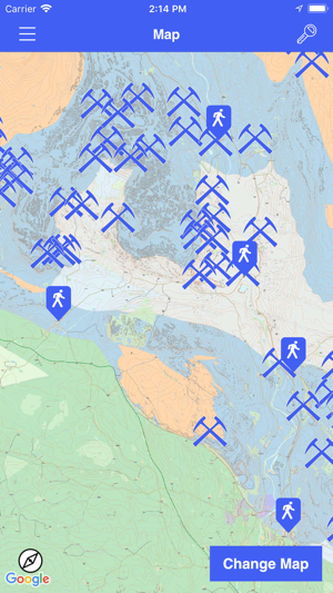
Explore the 500 million year geological story of the Ingleborough area, North Yorkshire, with these six geotrails based on Austwick, Clapham, Helwith Bridge, Horton in Ribblesdale, Settle and Stainforth.

Over the past 500 million years, tectonic plate movements have seen the Ingleborough area pushed northwards, at a leisurely couple of centimetres a year, from near the Antarctic Circle.

During that time and transition through the tropics, environmental conditions changed enormously, and the rocks and fossils of the area reveal the history of those changes. Folding and faulting reflect the effects of earth movements and mountain building and the most recent times have culminated with the ice-ages and erosion to form the present-day landscape with the caves and limestone pavements so typical of the Yorkshire Dales. The rocks have provided a natural resource, which for centuries has been quarried in the area.

This app makes use of GPS to show you places of interest close to your current location. Continued use of GPS running in the background can dramatically decrease battery life.
支援平台:iPhone, iPad
